Log in
All resources
Create a design
21 Free Images of Old Maps Of New Mexico
maps in the library of congress
1882 maps
18th-century maps of the spanish empire
old maps of mexico
old maps of louisiana
old maps of new france
old maps of the viceroyalty of new spain
history
historical
dien (printer)
18th-century maps of the spanish empire
dien (printer)
maps in the library of congress
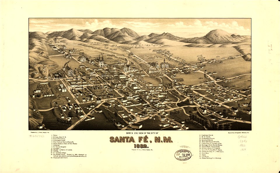
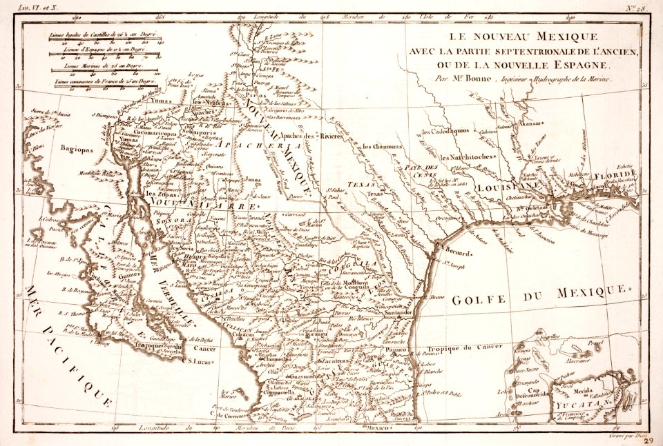
old maps of new mexico
maps in the library of congress
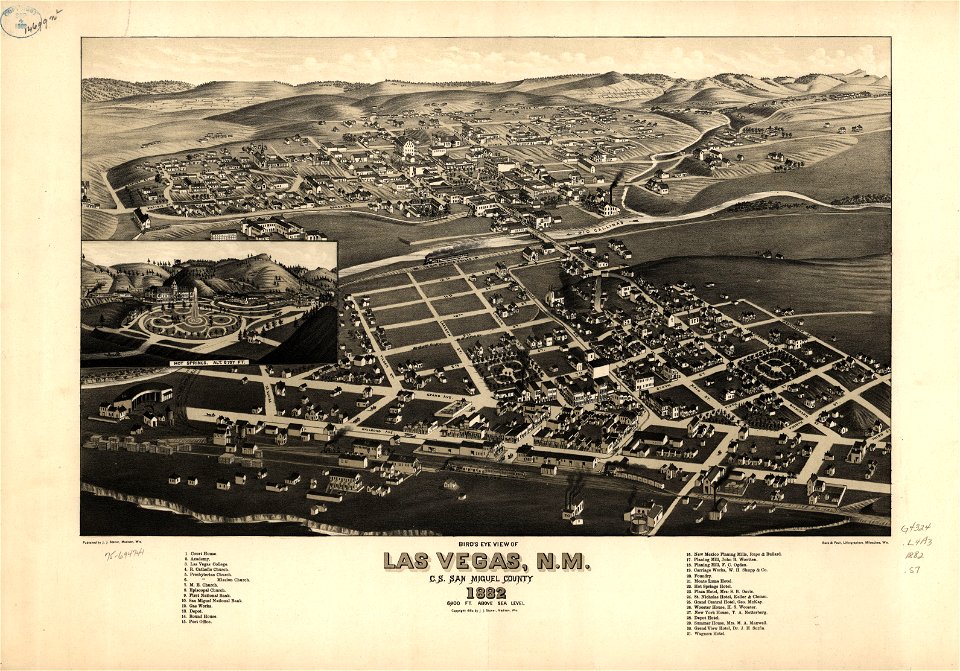
old maps of new mexico
maps in the library of congress
old maps of new mexico
maps in the library of congress
old maps of new mexico
maps by jacques-nicolas bellin
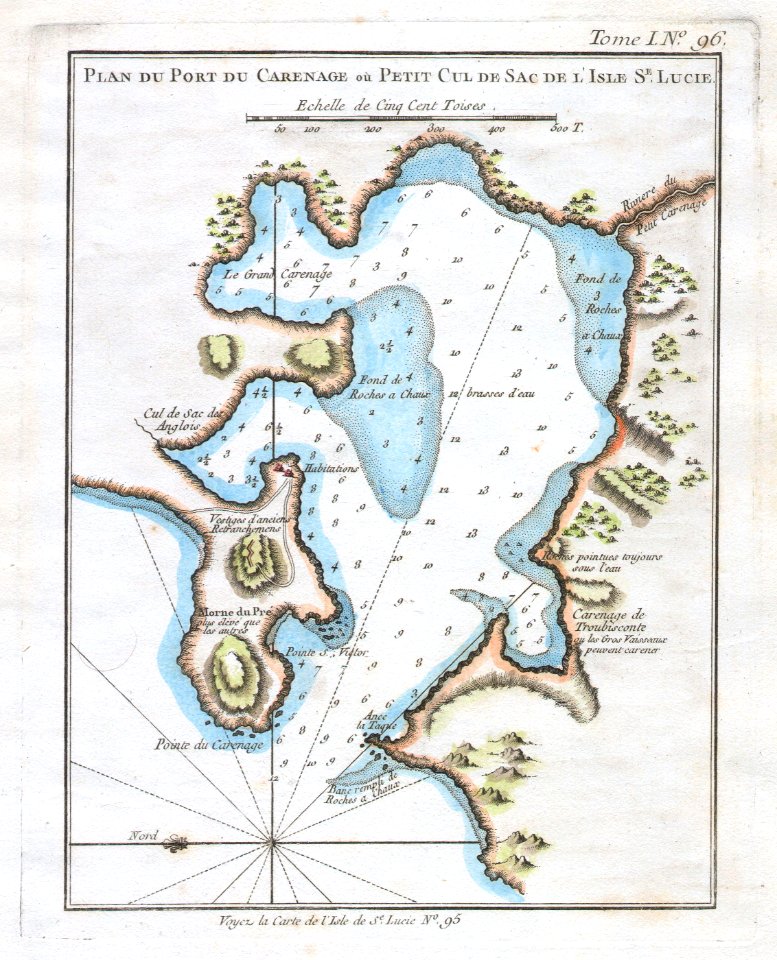
old maps of saint lucia
1560s maps of north america
paolo forlani
jan karel donatus van beecq
hernán cortés
old maps of the viceroyalty of new spain
1570s maps of mexico
18th-century maps of north america
1708 maps of north america
the loyal west in the times of the rebellion
1803 maps of the united states
1750s maps of central america
maps by tomas lopez
18th-century maps of central america
1760s maps of the caribbean
maps in the library of congress
old maps of latin america
chicago and the midwest, newberry library
old maps of the mississippi river
1790s maps of central america
1790s maps of cuba
historical
history
historical
history
historical
history
1650s maps of the americas
1658 maps
geocentric model
1730 maps
1 - 21 of 21
/ 1